




Leave the X-Wing in the Garage. Use your iPad to Explore the Galaxy: Three...
If you’re like me, a not too serious star gazer with an iPad, you may appreciate an app that helps you navigate the night...

Geo-tag your images and locate them on a map with open source software GeoTag
You may not realize it, but the pictures that you take with your GPS-enabled camera or smartphone (such as your iPhone), and many of...

Freeware to Get Started With GIS And Explore Mapped Data
As the Web and the world have become increasingly data-driven, GIS is just another tool to process that data. GIS stands for Geographic Information System,...
uMap: visualize your uTorrent downloads on a Google map of the world
Have you ever wondered where in the world (literally) your torrent downloads are coming from? Whether you are downloading from people in adjacent states...

Flashearth
Flashearth is a web application that displays interactive satellite images and maps from a number of different online mapping sources, including Google, Yahoo, MSN,...
Latest posts

The Best Free Antivirus for Windows – January 2016
I have been looking into the question of which free antivirus is the best for almost 10 years now, and the only way to...

“The Bafflement Fires” – an experimental game designed to manipulate your world view
We’ve always been interested in the intersection between games and art, and have written up a number of games by Jason Nelson exploring the...
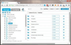
Get cloud access to anything on your PC, with TackaCloud’s ‘Personal Cloud’
Although Dropbox and other cloud services have gotten us used to accessing our files anywhere from the cloud, somehow there is always that important...

Introducing: The Ballerina Monsters
Are you missing Freewaregenius and wondering what we’ve been doing for the past several months? One project I’ve been working on is: “The Ballerina...


